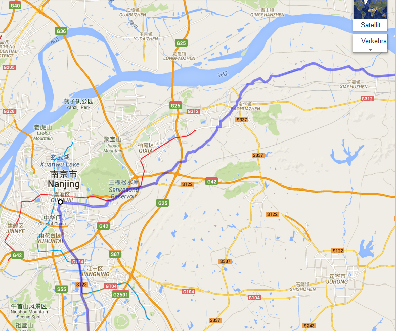
With every day I gradually emerge from the early medieval age and get more and more tuned to the forthcoming biking in modern China. I even had a look on our Facebook page, for the establishment and maintenance of which Volker should take all the credit.
I clicked on Our Route – and almost fall from the chair. It’s all there, starting in Shanghai: “From Zhongshan East Rd. turn right into Yan’an East Rd., after 270 m. turn left into Xikou Rd, after 92 m. turn right into Jinling East Rd…” and after 744 more turns we reach Beijing. The shortest straight distance we go without a turn is 3 meters (how do we do this with our vehicle which is 4,5 m. long?!), the longest: 67,3 km.
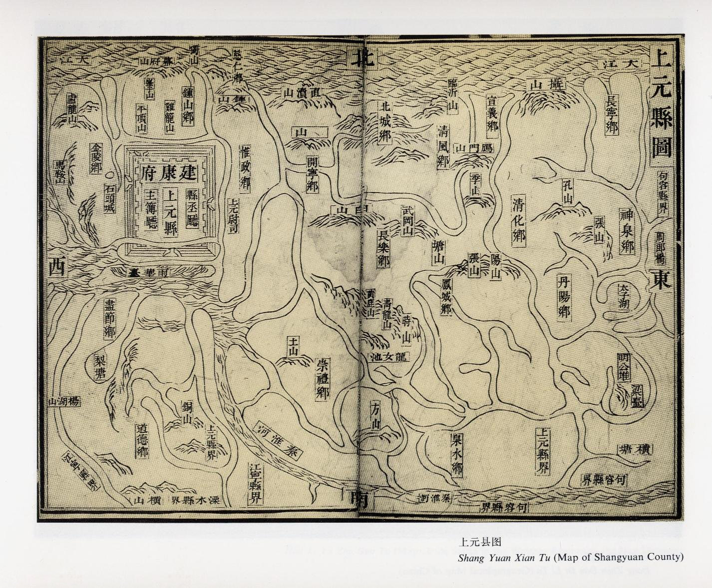
Google Maps has decided it all for us. I might have made it out from age of manuscript culture but apparently I never reached the age of satellite navigation. Only yesterday I was browsing through some beautiful Ming maps of the areas south of Yangzi,– not only did it look different then, you couldn’t rely too much on such a map for taking a certain turn after a certain distance.
And my ideas of travelling in China come from my old backpacking trips in China, all of them BC (Before Children): you arrive in some small town, you go to the bus/train station, check what is available to where; when there’s nothing, you check the motorbike drivers waiting for clients in front of the station, or in emergency flag down some vehicle.
At the end you are lucky if you make it to the place you intended to go, not to speak of taking a pre-planned turn into a certain street. How was that much quoted saying – it is not the destination which is important, but the journey? Now even the closest turn within the journey, the one three meters away,- becomes a destination.
A little quiz: Can you find the 10 differences?